


Outdoors
Drive or Ride the Pig Trail Scenic Byway in Arkansas
The Pig Trail in Arkansas makes a road trip-worthy destination any time of year. The drive alone with several notable stops makes a fun day out.
by Sony Hocklander
Jul 2025
Photo courtesy Arkansas Department of Parks and Tourism
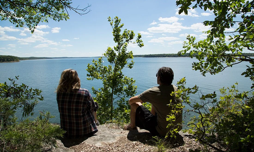
Popular among local motorcyclists, nature lovers and road-trippers alike, the 24-mile stretch of Arkansas 23 dubbed the Pig Trail Scenic Byway goes south from Brashears to Interstate 40.Whether nicknamed for its hog-tail-like curves or as the back route to watch Razorbacks football, the Pig Trail makes a road trip-worthy destination any time of year. The drive alone with several notable stops makes a fun day out. While spring is best for visiting area waterfalls, and fall is popular for leaf-peeping, summer on the trail features tunnel-like green canopies, splashing on the Mulberry River and noteworthy side trips including White Rock Mountain.
Driving the Byway
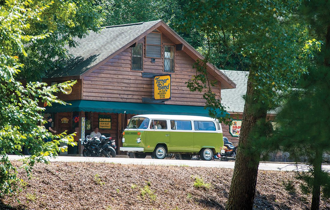
Starting in Brashears, about 2.5 hours from Springfield, head south on Arkansas 23. Stop about six miles south for a mountain vista view at the Ozark Scenic Overlook. Just over six miles farther, pull off at the quaint Turner Bend Mulberry River Outfitter. In addition to campsites and cabin rentals, Turner Bend serves as an outfitter for the Mulberry River. Its tiny store—a local hub for more than 100 years—is a fun spot to find provisions, deli sandwiches and collectibles including stickers, T-shirts and patches. While it’s unlikely to flow much in summer, check out the Turner Bend waterfall nearby. Pig Trail Falls is about two miles farther south.
Have time for side destinations? Find a mountain overlook at Hanging Rock, east on Fly Gap Road near Brashears. Or head east on Arkansas 215 from Cass to a pretty overlook of the distinctive blue-green Mulberry River. Continuing east if there’s been rain (or you visit during a wet season), climb a short, rocky stream side trail to the 71-foot High Bank Twin Falls. Nearby, Bingham Hollow Falls is another easy hike.
Photos courtesy Arkansas Department of Parks and Tourism
Mulberry River
Known for white water paddling in spring and beautiful turquoise to emerald coloring, the Mulberry River is slow enough in summer for swimming, fishing and—if water levels are high enough—easier floating. Spend time at the Redding Recreation Area and Campground to cool off or wet a line. You’ll find an easy swimming hole and canoe launch area here, with bathrooms nearby. For more water recreation, check out Byrd’s Adventure Center on Arkansas 215 for camping, cabins and a restaurant. It’s also one of several outfitters for supplies for floating the Mulberry.
Two popular stretches of river to float go from Byrd’s or Redding to Turner Bend. It’s important to check water levels since the Mulberry, like the Buffalo, is weather-dependent. Families and beginners should stick to low-water days.
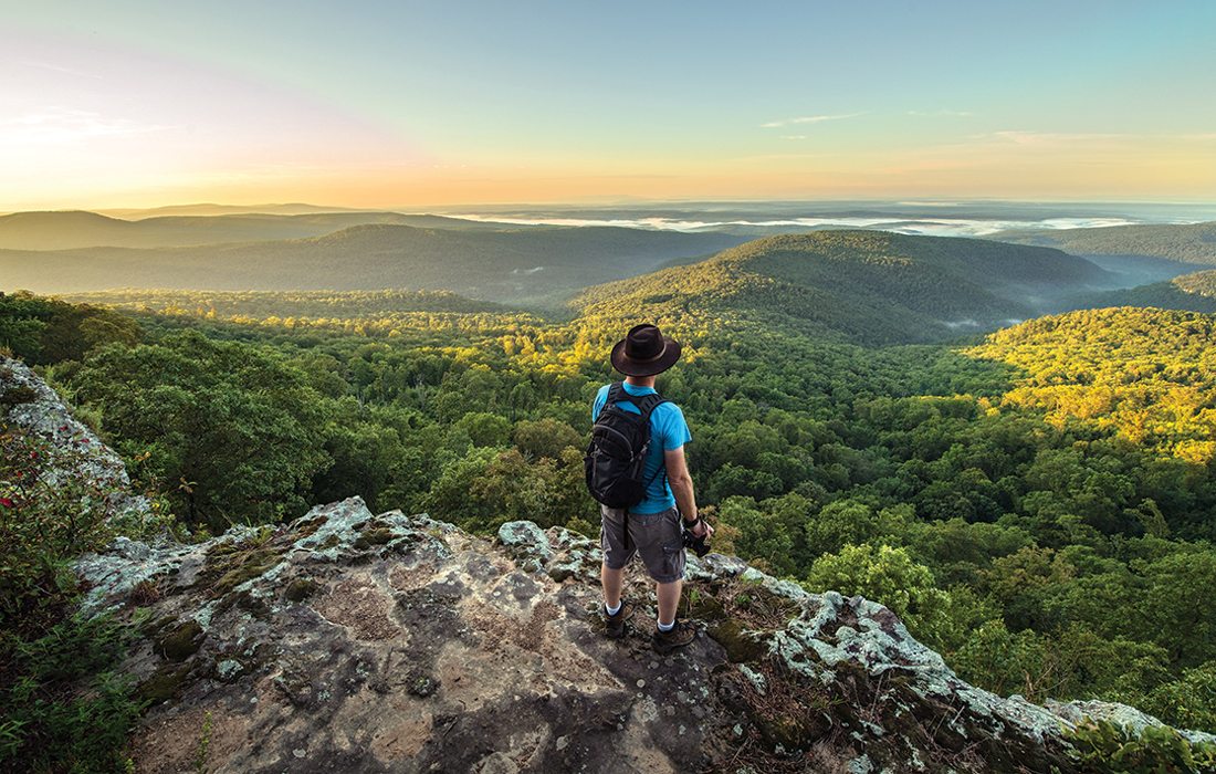
White Rock Mountain
If you visit for more than a day, take a side trip to White Rock Mountain Recreation Area, 45 minutes from Brashears. Named for lichen-covered bluffs that look white from a distance, it’s a must-go for the view. The winding road to the peak makes a gorgeous drive. At the top—2,309 feet above sea level—a restored historic lodge and three rentable stone cabins were built by the Civilian Conservation Corps in the 1930s. Also find a campground, picnic areas and a general store.
Day-use visitors pay $3 per vehicle to spend time on the mountain. Head first to the overlook shelter for a breathtaking view of the valley below. Then hike the pretty 2-mile White Rock Rim Trail, which provides more views from high bluff areas. When it comes to Ozark Mountain views, White Rock’s is among the best.